
People from throughout Colorado and across the globe can explore some of the state’s most beautiful and scenic locations from the comfort of their computers or mobile devices following today’s Google Maps release of more than 40 new Street View images from the Centennial State.
From exploring the Mesa Trail beneath the Flatirons in Boulder to taking in scenery in and around Rocky Mountain National Park; from wandering through Denver’s Red Rocks Amphitheatre or gazing at the grandeur of Garden of the Gods in Colorado Springs, the Street View images allow users to make virtual visits to many of Colorado’s most iconic and impressive landscapes.

Google’s Street View Trekker being used in the Grand Canyon.
The images were captured via Google’s Street View Trekker, a wearable backpack with a camera system on top, and Google’s newest Street View camera platform. The Trekker is worn by an operator and is walked through pedestrian walkways or trails on foot, automatically gathering images as it goes. That imagery is then stitched together to create the 360-degree panoramas you see today in Google Maps.
Tuesday’s release includes images collected by Google and others made possible by partnerships through the Trekker Loan Program with the Denver Convention and Visitors Bureau and Visit Estes Park.
Imagery released today includes:
Google Maps-collected sites
- Flatirons, Vista South Trail
- Flatirons, Prairie Vista
- Flatirons, Homestead Trail
- Flatirons, Shadow Canyon Trail
- Flatirons, Mesa Trail
- Flatirons, Marshall Mesa
- Flatirons, Community Ditch
- Flatirons, Marshall Valley
- Flatirons, Doudy Draw Trail
- Flatirons, Spring Brook Loop South Trail
- Flatirons, Towhee Trail
- Colorado State Capitol
- Garden of the Gods- Time Machine
Denver Convention and Visitors Bureau-collected sites
- Red Rocks
- Highland Bridge
- South Platte River Trail
- Civic Center Park
- Washington Park
- Wild Animal Sanctuary
- City Park, Denver
- Denver Botanic Gardens at Chatfield
- Denver Botanic Gardens
- Denver Zoo
Visit Estes Park-collected sites
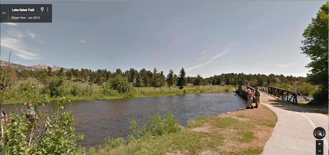
- Lake Estes Trail
- Estes Park Riverwalk
- Knoll Willows Trail, Estes Park
- Sprague Lake Trail, Estes Park
- Bear Lake Trail, Estes Park
- Lily Lake Trail, Rocky Mountain National Park
- Deer Mountain Trail, Rocky Mountain National Park
- Forest Canyon Overlook, Rocky Mountain National Park
- Toll Memorial Trail, Rocky Mountain National Park
You can also access the images by searching for a destination in Google Maps for mobile (available for both Android and iOS), and then selecting the Street View option to start your own 360-degree tour.
This is all part of Google Maps’ efforts to make the world’s diverse heritage and beauty accessible to everyone. T o learn more about where the Trekker has travelled thus far, please visit: http://www.google.com/maps/about/behindthescenes/streetview/treks/